


Document Actions
gvSIG-Desktop 1.1. Manual de usuario.
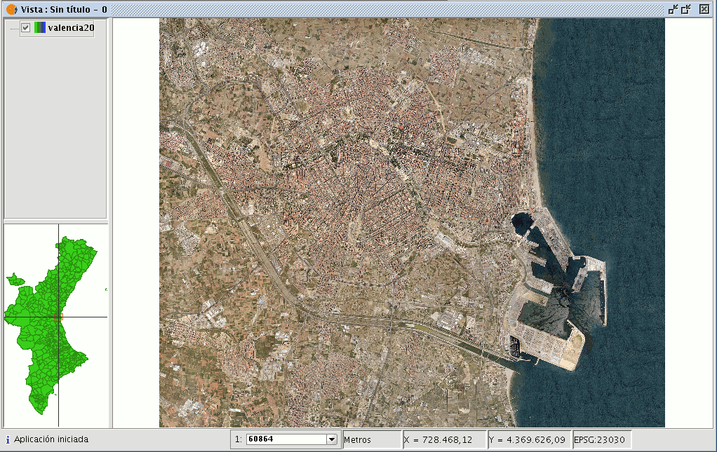
The gvSIG programme allows an image to be georeferenced (.jpg, .tif, .gif, .png) using control points on a georeferenced base map. Firstly, the georeferenced base map needs to be loaded (in raster or vector format or both) to a gvSIG view.
Secondly, the image to be georeferenced must be added. You can load this image by going to the “Add layer” tool and selecting the “Georeference” tab. Use the “Load” button to access the image you wish to georeference.
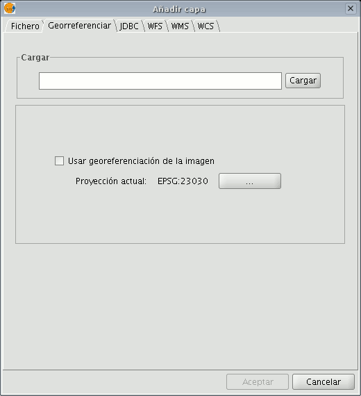
If you enable the “Use image georeferencing” check box and the image is georeferenced, it will be added to the view with its current georeference. If it is not, the image will be loaded in the centre of the view. You will then find a browser button which can be used to select the map projection.

When you have finished the process, click on “Ok”. The image to be georeferenced will appear in the view and will have an asterisk “*” in the ToC to indicate that this is the layer the process is being carried out on. A new window will also appear to carry out the georeference process but first, the image to be georeferenced will have to be moved closer to the base map’s reference zone so that you can select the control points more quickly.


